Circumnavigation
The legs of the circumnavigation: long passages, night sailing and ocean crossings, documented with map and photos.
Two special voyages, documented on Polarsteps. The maps show the routes sailed with the individual legs and photos.
The legs of the circumnavigation: long passages, night sailing and ocean crossings, documented with map and photos.
The trip on the river Rhine: locks, inland waters and harbours, captured leg by leg.
Both maps are loaded directly from Polarsteps.
Experience
Every trip sailed so far, one by one, from the first training miles in 2015 to the current season. Scroll horizontally.
Scroll or swipe horizontally for more trips
2025
2025
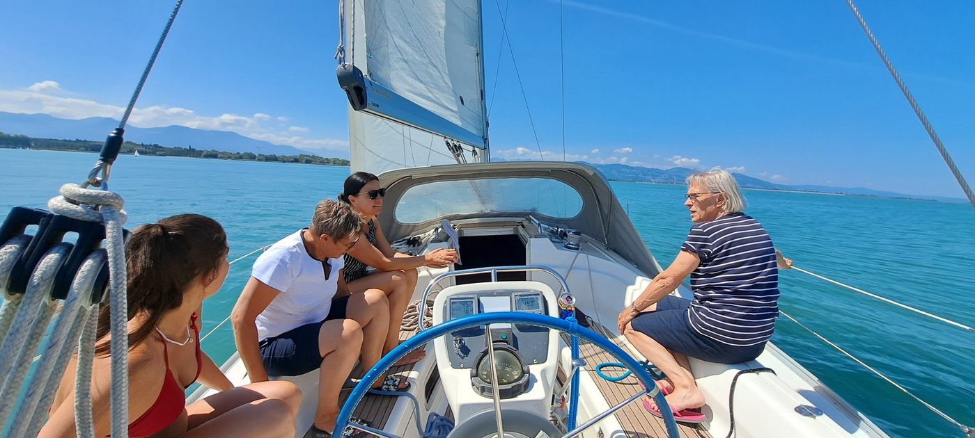
2024
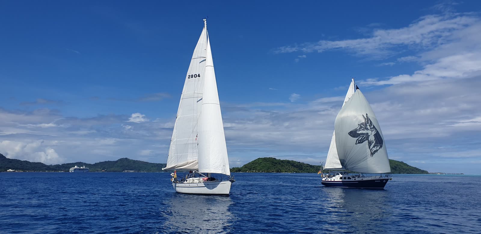
2024
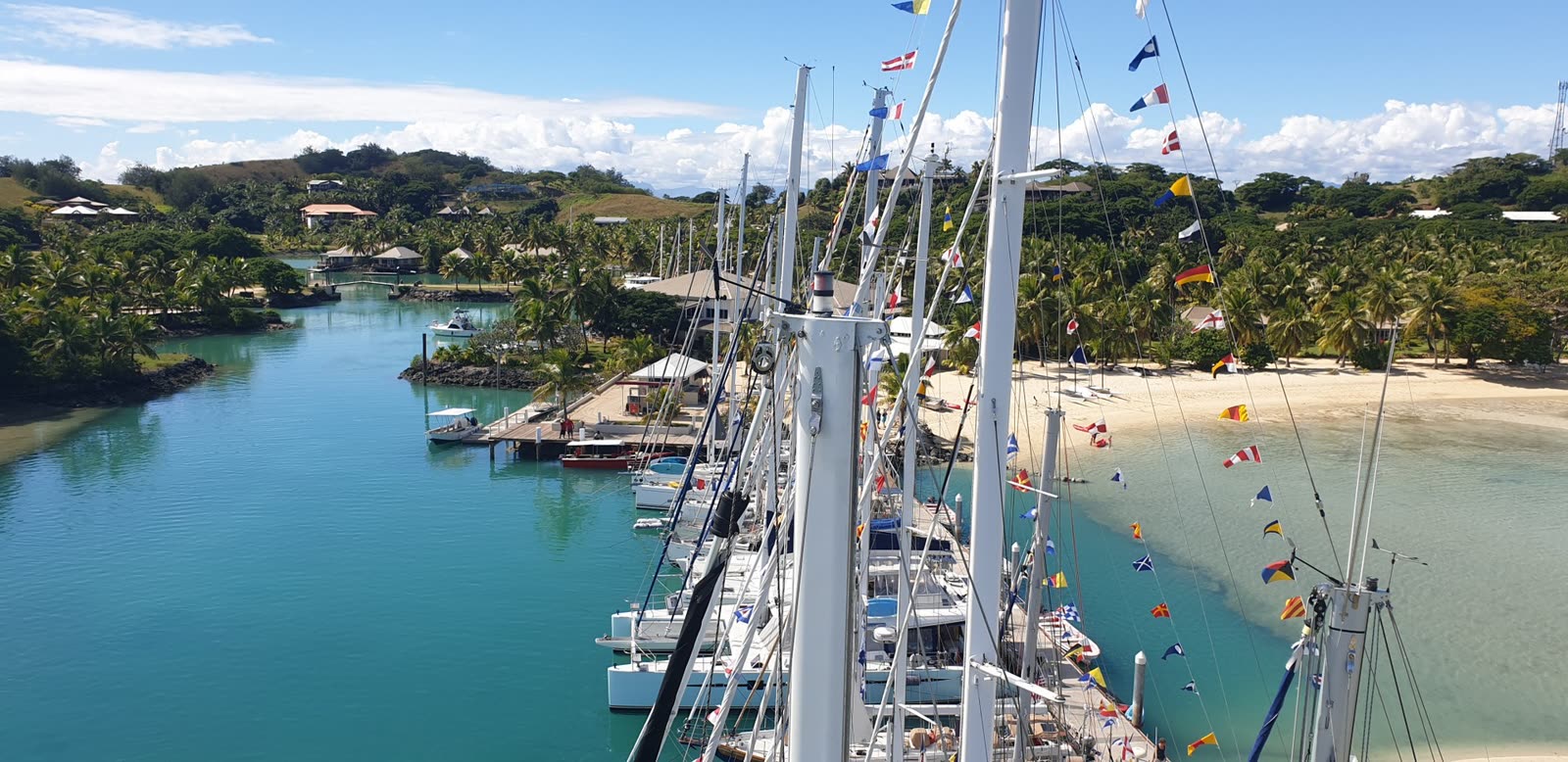
2023
2022
2022
2021
2021
2018
2017
2017
2015
2015
2015
World map
All public trips with a stored track. Start and end points are marked; a click opens the trip page.
No track data has been published for these trips yet.
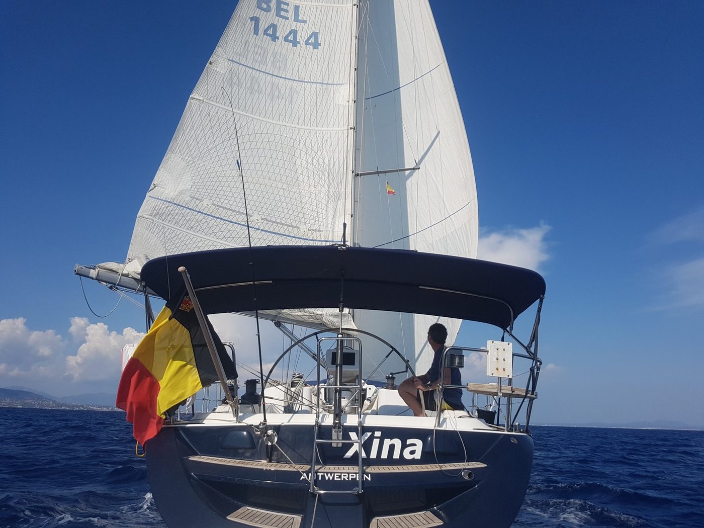
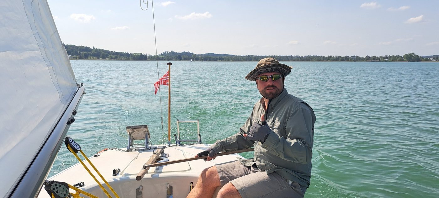
The photos in the trip history are general sailing images. Trip-specific photos will follow with the dynamic trip management.
Contact
Tell me briefly what you have in mind: area, dates, crew size. I usually reply within 48 hours.